NOAA Center for Earth System Sciences & Remote Sensing Technologies (CESSRST)
CESSRST is a National Oceanic & Atmospheric Administration (NOAA) funded Cooperative Science Center focused on advancing Earth system science and remote sensing while fostering a diverse STEM workforce. The center leads research and training initiatives aligned with NOAA’s mission areas.
Focus Areas: Remote sensing and satellite technology, Climate and environmental monitoring, Atmospheric, coastal, and ocean science, STEM education and workforce development.
Partners: City College of New York, Hampton University, San Diego State University, University of Maryland, Baltimore County, University of Puerto Rico at Mayagüez, The University of Texas at El Paso
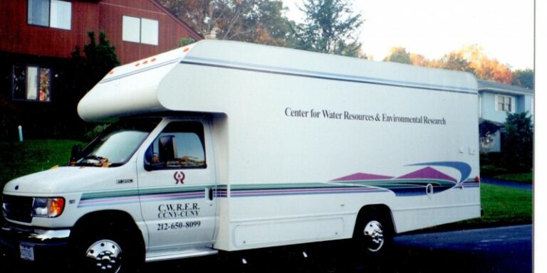
Center for Water Resources and Environmental Research (CWRER)
Also known as the City Water Center, CWRER focuses on the management, modeling, and protection of water resources and aquatic environments in urban and natural systems. It provides technical solutions for pollution control, develops decision support tools for water resource management, and conducts research on urban flooding, climate resilience, and ecosystem preservation.
Focus Areas: Water quality and hydrology, Groundwater and surface water systems, Watershed and wetland management, Environmental policy and hazard mitigation
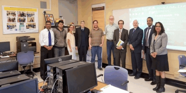
Bronx Community College Geospatial Center (BGCCCI)
The Bronx Community College Geospatial Center of the CUNY CREST Institute (BGCCCI) was established as a Center/BCC entity on October 3, 2014, through a Memorandum of Understanding signed between The Bronx Community College (BCC) and The CUNY CREST Institute (City College of New York). The Center’s mission is to promote research, training, and service that supports and advances the core mission of the College and the Strategic Road Map of CUNY. Operating under the Office of Academic Affairs, the Center engages in various activities, including designing and offering hands-on workshops, professional development programs, research internships, and conducting innovative collaborative research utilizing BIG Data. The Center’s research internship program has resulted in innovative projects, industry-relevant workforce skills, and established career pathways. Members affiliated with the Center utilize time-series, multi-resolution satellite datasets, along with geospatial analytics, machine learning, and deep learning techniques to conduct pioneering applied research in areas such as Climate Change, Deep Learning, Decarbonization, and Aerosol Optical Depth. Since 2014, the Center has trained over 500 cohorts of students and educators from underrepresented groups in geospatial technologies, empowering them with workforce skills that have led to upward social mobility.
Focus Areas: Geospatial-AI, foundation models, decision support systems, and their applications in urban environments, workshops, research internships, and professional development workshops.
Center for Remote Sensing and Earth System Sciences (ReSESS)- City Tech
Located at New York City College of Technology, ReSESS promotes research and education in Earth system science and remote sensing, with a focus on developing a research-driven academic culture. Its introduces students to satellite data interpretation and sensor technology, supports faculty-led research initiatives in climate and Earth science, and engages students in projects spanning the biosphere, atmosphere, and hydrosphere.
Focus Areas: Remote sensing applications in environmental systems, integration of Earth science into curriculum and research, student-led fieldwork and citizen science projects, data analysis and algorithm development.
