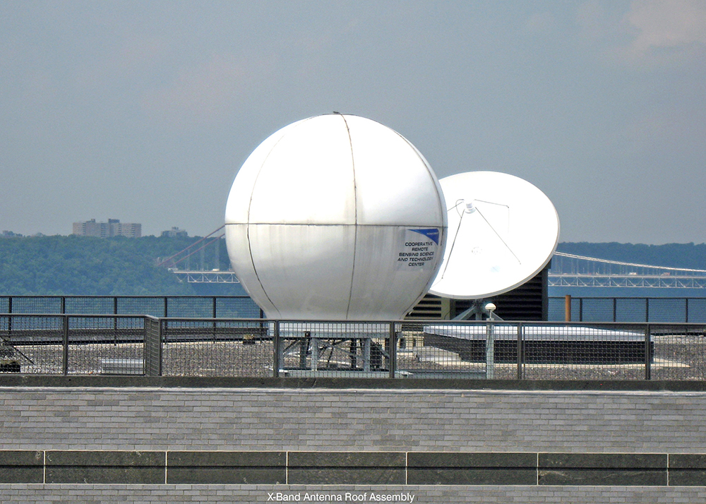
Direct Broadcast Services – Satellite Receiving Stations
The Satellite Receiving Station (SRS) located at 3 Locations, CUNY, Hampton University and University of Puerto Rico, Mayaguez. Data types that can be received and processed are from X-band transmitting polar orbiting satellites, Suomi NPP, NOAA-18, NOAA-19,Terra and Aqua, both equipped with MODIS instruments, and L-band data from the geostationary (GEOS-12) satellite (only at CUNY).
Computational Facilities
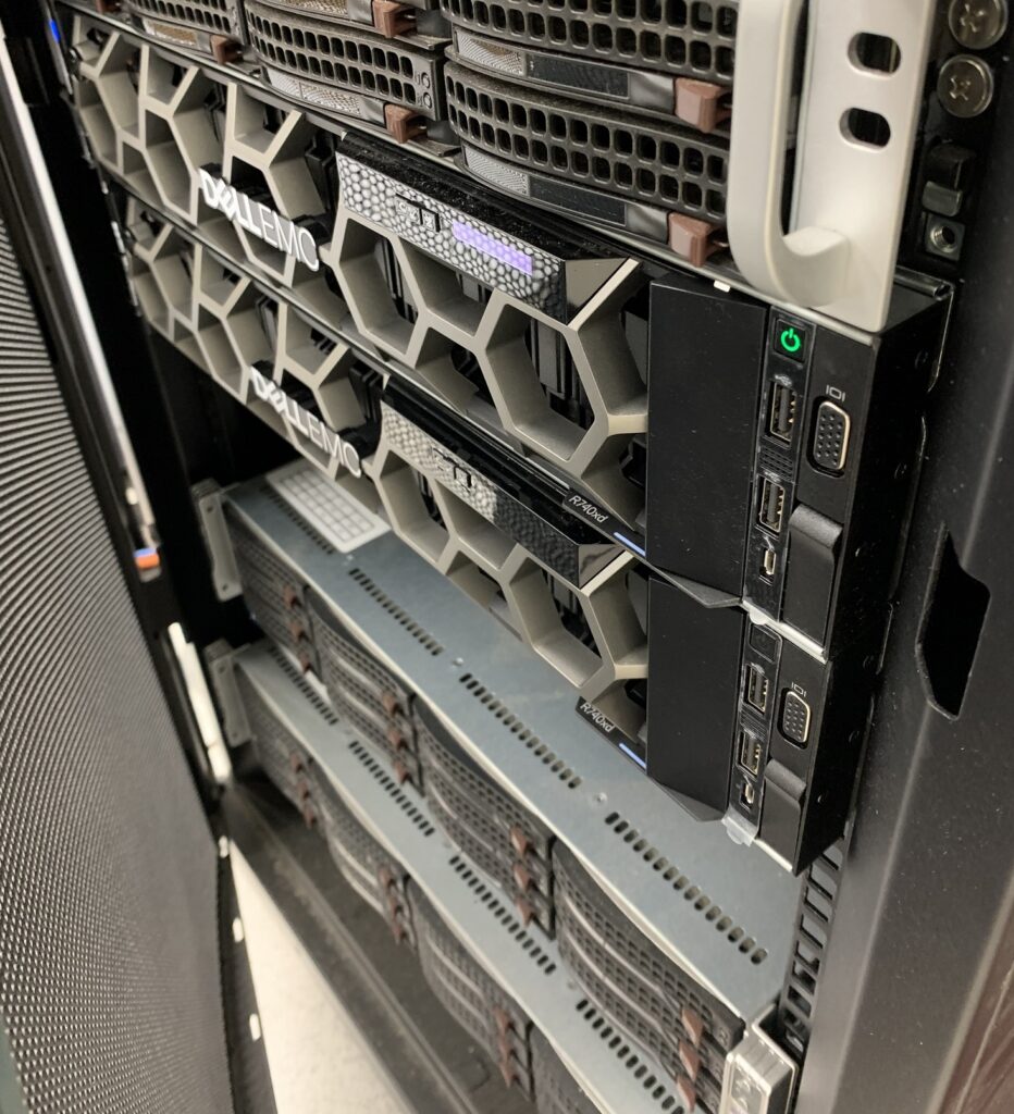
Computing Cluster System at The City College of New York (CCNY), which includes a set of computing nodes used for multi-dimensional and satellite computation. This unix-based system is used for forecasting and running research models. It is also used for Satellite data processing from the Center’s Direct Broadcast station. Three Remote Sensing and GIS laboratories located at CCNY and Lehman college provides facilities and resources for instruction and research in the areas of environmental remote sensing and spatial data processing using the state-of-the-art capabilities for image processing, mapping, modeling, statistical analysis, and visualization. These Lab focuses on exploring the urban environment through Geographic Information Science. Current research areas include spatial analyses of urban environmental burdens, environmental justice, health disparities, health and the built environment, urban demographics, hazard and risk assessments, and the connections between social and environmental conditions. These Labs includes: GIS and Remote Sensing Lab (CM-7), GIS and Remote Sensing Lab (T-424), The City College of New York (CCNY), and The Urban GISc Lab at Lehman College.
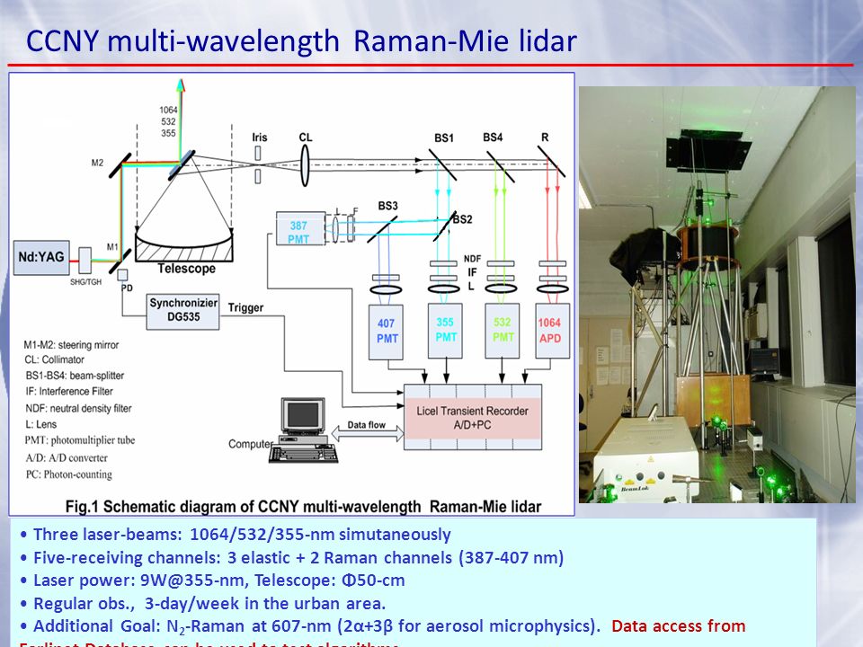
Center Lidar Network
Center LIDAR Network (NY,VA,MD,PR) studies the vertical profiling along the Atlantic Coast transect from NYC to Caribbean with applications to aerosol transport and air quality. It has been cooperated in founding the International GAW Aerosol LIDAR Observation Network. Lidar is an acronym for LIght Detection And Ranging, a technique similar in principle to Sonar and Radar to determine ranging, or the measurement of distance by time domain reflections. Lidar uses a (often pulsed) beam source while measuring the time and intensity of reflected energy. When there is no ‘solid’ target, there is still a small portion of the beam that is reflected by atmospheric constituents along the line of sight (backscatter.) This measurement technique can infer several characteristics of the target or also of the intervening atmosphere.