Unmanned Aerial Vehicle (UAV) technologies are increasingly being adopted across industries seeking to enhance operational efficiency and data collection capabilities. As the cost of UAV systems continues to decline, drone ownership has surged, enabling broader access to this transformative technology. Sectors such as snow mapping, crop monitoring, and emergency response are among those seeing significant benefits. UAVs equipped with high-resolution digital cameras can generate detailed 3D models of buildings and landscapes through aerial photogrammetry. This process involves capturing hundreds or thousands of overlapping images and processing them using specialized software such as Pix4D to produce point clouds and textured meshes.
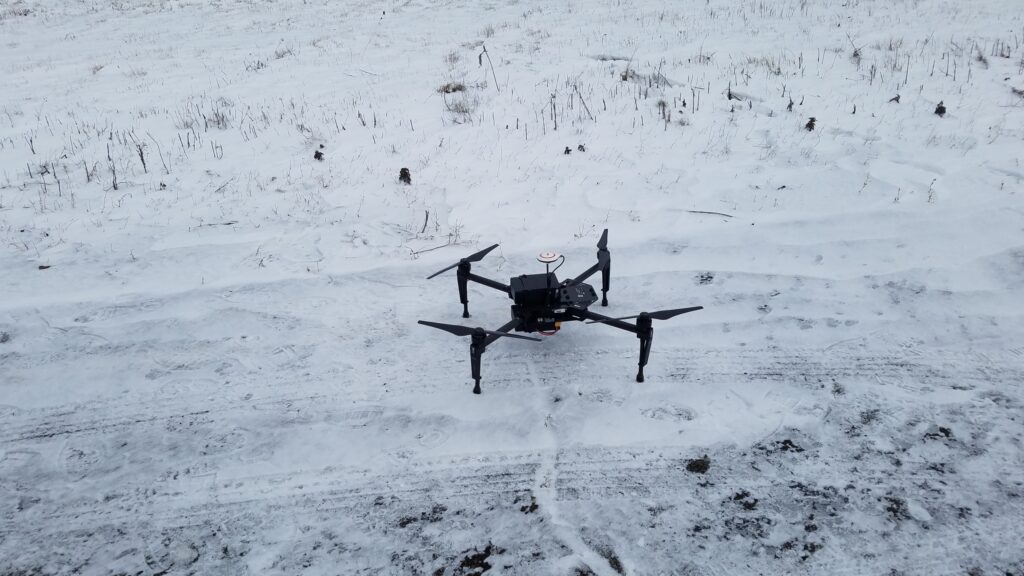
At CREST, we are actively exploring the use of drone technology for snow and vegetation mapping. This includes integrating UAV-based observations with existing remote sensing platforms to improve large-scale snowpack property estimates using data assimilation techniques. Our research also investigates the impact of complex terrain and vegetation on the accuracy of snow depth measurements derived from photogrammetric methods. In addition, we are evaluating the accuracy of snow thermal condition measurements using UAVs by analyzing temperature gradients across snow profiles, comparing compacted and natural snow layers, and assessing variations in open versus vegetated environments.